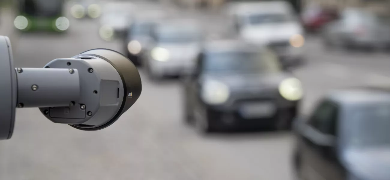
Keeping public transport and mobility services fit for purpose is a principal challenge for city authorities. Recent studies show that leading cities take important steps to develop people- and planet-centric transportation options. Surveillance technology plays a vital role in delivering the high quality, efficient, and safe services these cities provide. Here’s how.
ThoughtLab’s recent From Future Vision to Urban Reality report, sponsored by Axis, explores the most effective strategies and digital solutions city leaders are using to prepare for the future. When it comes to urban mobility, the importance of real-time data is front-and-center. Surveillance technology provides much of this data as well as valuable insights used to power services. Transport authorities use it to enable systems such as traffic management, parking, public transport, and digital payments.
But knowing where and how to invest is a challenge in itself. Fortunately, the nature of surveillance technology means that any pilot scheme or local initiative immediately provides a feedback loop of learning, improvement, and verification ahead of major city-wide investments thanks to their rich, real-time data. This is also what makes surveillance technology such a vital component of digital twin initiatives. In fact, traffic management is the leading use case for digital twin modelling, with cities across the world already benefiting from their application.
Here are just a few examples of the top ways future-ready cities are leveraging surveillance technology to enhance their urban mobility, taken from our latest ebook, Surveillance technology for future-ready cities. Our report supplements the ThoughtLab study, providing further context, example use cases, and tangible next steps for city authorities through the lens of surveillance technologies.
Download the full ebook, here.
Smart signaling
Getting traffic light signaling right can be the difference between gridlock and free flowing traffic. Surveillance systems are used to collect queue length data at these hotspots. By collating data and identifying patterns over hours, days, and weeks, systems can present optimized signal timing profiles. Similarly, real-time data can also be used to control variable speed limits or open and close lanes, using pre-set rules.
Identifying the causes of accidents
Understanding how and why accidents occur requires data. Surveillance footage provides you with detailed accounts that enable forensic levels of analysis into driver behavior trends. You can identify dangerous behavior patterns such as sharp lane changes or stops, drivers heading in the wrong direction, as well as speeding hot spots and red-light violations. You can then use this analysis to inform new policies and preventive measures, and then use it to gauge their effectiveness.
Rapid incident response
In the same vein, surveillance systems can provide automatic incident detection. Cameras can detect unusual or sharp changes in direction, or when a car stops in the middle of a road. When an incident occurs they can then trigger escalation protocols, such as notifying staff or first responders. Smoke and heat detection provides further valuable information. All of which helps expedite response times and can save lives.
Intelligent parking
Surveillance data supports many functions vital to parking systems. As well as spotting spaces to inform availability signage, license plate recognition enables frictionless automated payment systems. Both of these help to reduce bottlenecks at entrances and make journeys smoother.
You can also use these cameras to spot parking violations, such as identifying double parking, overtime, illegal parking, and even measuring whether vehicles have parked far enough from corners, as well as your typical security functions.
Encouraging alternative travel
One of the most frequently cited deterrents to using alternative forms of travel is a lack of safety, especially at night. In-vehicle installations on trains and buses make real-time, multi-camera, interior and exterior footage readily available to security personnel, even while vehicles are in motion. This enables virtual patrols of vehicles, proactive monitoring during busy periods or known events, and quick reactions to security alerts.
Outside, in parks and on main pedestrian routes, smart poles, equipped with lighting, cameras, speakers, and intercom help points can provide much needed assurance to the public, helping create established safe walking and travel routes.
Learn more
Surveillance technology doesn’t only help cities tackle mobility challenges. Axis-powered solutions are supporting local authorities across the world drive new efficiencies, and save money, while improving sustainability, safety and the lived experience of citizens.
